"It would be an amazing resource to be able to head north all the way up to Grand Teton National Park," Orion Hatch, executive director of the Snake River Fund, told the Jackson Hole News&Guide in reporting republished by WyoFile last December. "Unfortunately, that's not the reality."
On the west bank south of the Wilson Bridge, what you can actually do is park in the lot off Highway 22 and walk south along the Snake River Dike Southwest until you reach a gate. JH Nordic's route page puts that gate at mile 2 and asks users not to cross it or step off the dike onto the private land to the west. Treat the gate as the normal state of a Snake River levee. The walkable stretch before it is the exception, and it exists because one neighborhood decided to allow it.
Four Stretches of Levee, Four Different Answers
The levees near Wilson are not under one access policy. Here is how the News&Guide reporting described each section in December 2025:
| Levee section | Public access as reported in December 2025 |
|---|---|
| Southwest, south of the Wilson Bridge | About 2.5 miles open because a subdivision agreed to public use |
| Northwest, Wilson Boat Ramp upstream to Snake River Ranch | 10 gates counted over 7 miles during a ride-along with Road and Levee |
| Southeast | Gated near Highway 22 |
| Northeast | Public access on Bureau of Land Management parcels |
The southwest dike and the northwest levees are the same kind of structure, built in the same years and maintained by the same agencies. The difference in access comes from the people who own the land beneath them.
What the Levees Were Built to Do
The Snake River has 33 miles of federally managed levees. The federal government built them between 1962 and 1964 to protect ranch land, using easements it obtained from landowners. Teton County and the U.S. Army Corps of Engineers hold easements to maintain them.
The levees also turned floodplain into land that could be built on. Rich Greenwood, who built Teton County's original GIS, said in the same report that before the levees "people didn't really care too much," and then "all of a sudden there was a whole bunch of land that could be developed." That new land is where the ownership questions started.
Twenty Years in Court
Western riparian law traditionally puts the boundary of a riverside property at the river's center line. In the 1960s the federal government resurveyed the Snake. It argued that the original survey had left out riparian land, which called into question the ownership of about 7,000 acres along 22 miles of river between Grand Teton National Park and the South Park Bridge. The News&Guide account lays out the sequence that followed:
- 1966. The BLM sued a landowner for quiet title to land on the east bank.
- 1969. Judge Ewing Kerr ruled for the BLM, which is why there is public land on the east bank today.
- 1974. Snake River Ranch sued for quiet title to 55 acres, and Kerr ruled for the ranch under riparian law.
- Mid-1970s onward. The government pursued more than 100 landowners over 3,236 acres along 22 miles of river.
- 1983. Kerr found that 400 acres belonged to the government and the rest to landowners. By then the government had spent nearly $1 million on the case.
Teton County Deputy Attorney Keith Gingery said in the reporting that the government "would have probably won in the end," and that a government win would have meant no large homes along the river.
The Settlement Line Runs Along the Levee Top
The case ended in settlements that gave river users recreational easements. Floaters and anglers can get out of their boats, walk on sand and gravel bars, and anchor. The easements specifically prohibited access to the levee tops. Gingery described the federal goal as making sure the public could reach the river. Walking on the levees was a separate question, and the settlements left it with landowners.
Gates went up soon after the ruling. In January 1984, State Sen. Tom Stroock tried to cut state funding for levee maintenance until landowners took down their "no trespassing" signs. He dropped the effort after county leaders argued that skipping maintenance would put the whole floodplain at risk, not only riverfront owners. Cars could still drive the levees until the early 1990s. In 1991, landowners on the south side of the river began organizing to close them to vehicle traffic.
The reporting describes the gates as "unambiguously legal." The levees are public infrastructure maintained with tax dollars, but they often sit on private property. Road and Levee estimates that the number of gates has doubled in the past 20 years. Gates were first meant to keep cattle from wandering. According to Road and Levee, Snake River Ranch is now the only large cattle operation left near the river, yet the decline in cattle has come with more gates, not fewer.
The public cost has not gone away. The Corps' 2025 budget for Snake levee maintenance was $357,000, and Teton County was responsible for $117,000 of it. Teton County Commissioner Len Carlman called excluding the public from a facility it paid for "a bad deal." Those who favor the current arrangement point out that gated levees still keep Wilson from flooding. Kenny Koebberling, the Corps' Jackson levee project manager, said that "everything on the west side is protected by those levees, pretty much."
The debate came back last year because a longtime resident started contacting county officials and nonprofit groups about reopening the levees. According to Carlman, opening them would take one of three things: federal legislation, litigation, or landowners granting recreational easements for levee-top access. Hatch said in the same reporting that, in his experience, many landowners have little interest in increasing public access.
The Two and a Half Miles That Exist by Choice
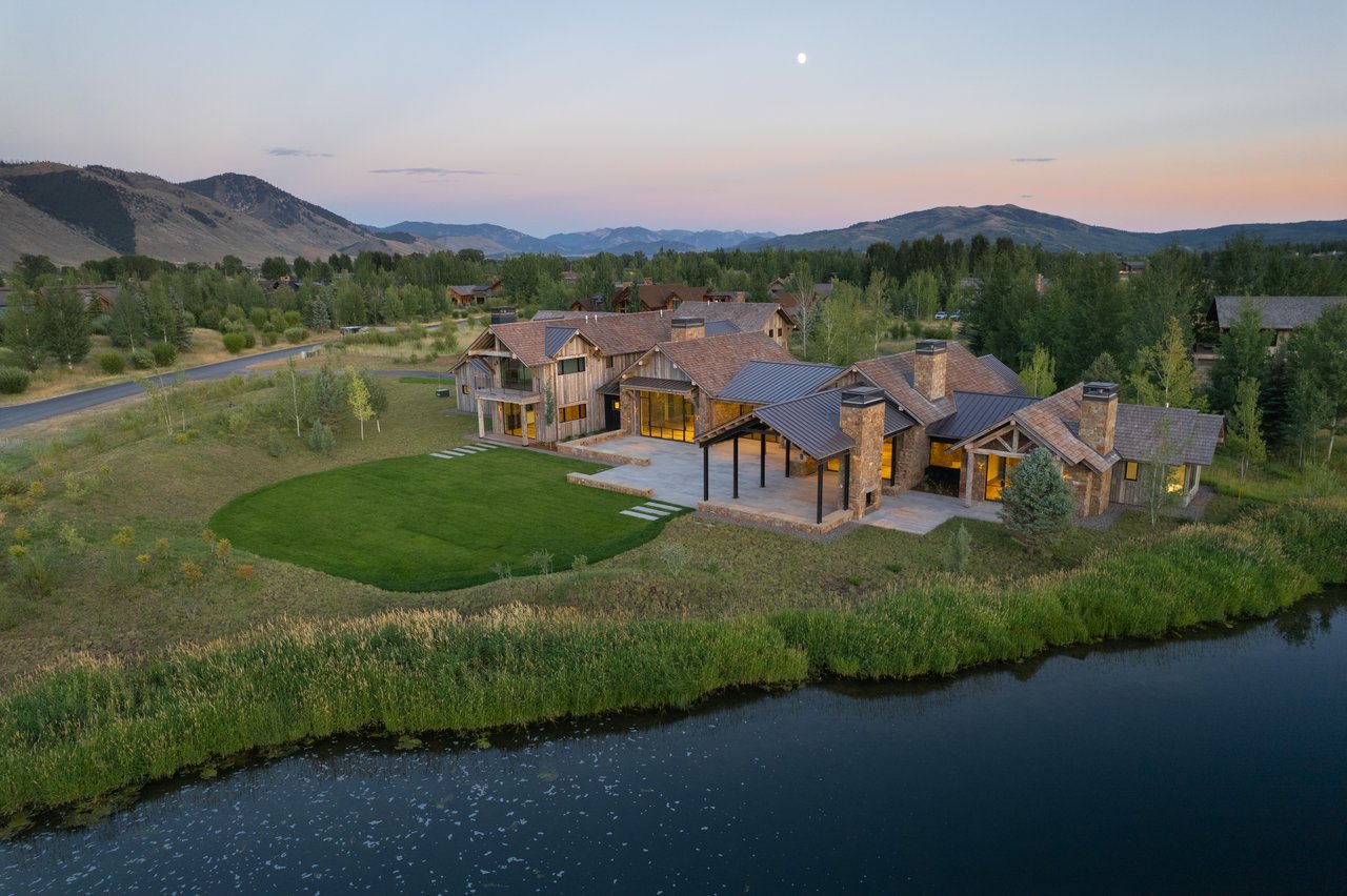
Of those three routes, only the third has produced public levee-top access on the west bank, and it happened on the southwest dike. A subdivision there decided public use of its levee was acceptable, which opened roughly 2.5 miles. The trail did not come out of a court ruling, a county purchase, or a federal designation. One group of owners made a decision, and the walk south from the Wilson Bridge lot follows from it.
That explains the specific requests on JH Nordic's page for the route. It describes Snake River Dike Southwest as a dog-friendly, flat out-and-back that sees less traffic than Emily's Pond. It asks walkers to stay on the dike, respect the private property to the west, and turn around at the mile-2 gate, and it asks dog owners to pick up after their pets. The access depends on landowners continuing to allow it, so these are conditions of keeping it.
The Corps is also discouraging new gates in the most heavily gated sections, such as the northwest levees. The county and the Corps hold keys to every gate, but Koebberling noted that every added barrier slows emergency repair crews.
The River Below the Dike This Month
The recreational easements from those settlements are still what let anglers and floaters use the gravel bars along this stretch, and the river has just moved into its low-water season. WorldCast Anglers' October 8 report put flows at about 280 cfs and said they are expected to hold there for four months. It recommends fishing slower banks, drop-offs, eddies, tailouts, and seams during the warmer hours of the day, with late Hecuba Drakes and Mahoganys, BWOs, and midges on the water. The USGS gage near Moran read a provisional 289 cfs early on October 12, 2026.
Downstream, Teton Troutfitters' report for October 3 to 11 recorded 979 cfs at Moose after the primary gates at Jackson Lake Dam closed. It described heavy afternoon BWO and Mahogany Dun activity, scattered October Caddis at dusk, and pre-spawn brown trout in the canyon pools on its South Park-to-Alpine float reach.
River access facilities are changing over for the season:
- October 31, 2026. Teton County Parks & Recreation plans to close the restrooms at the Wilson and South Park boat ramps. The notice covers the restrooms, not the ramps.
- November 1. The Bridger-Teton's Snake River recreation fee season ends. It began May 1, with a $5 vehicle day pass or a $40 season pass checked at developed access points such as Astoria.
- Astoria. The Forest Service lists Astoria, the first launch ramp south of Hoback Junction, as a primitive day-use site with vault toilets, no potable water, and no camping.
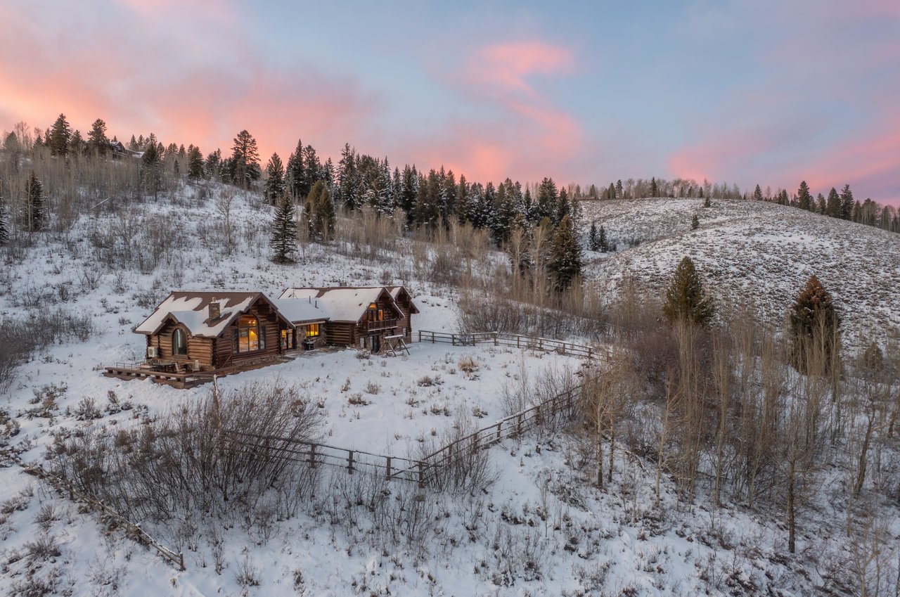
Once snow covers the southwest dike, JH Nordic lists it as an ungroomed classic track that usually carries two skier tracks, with dog prints breaking them up and the occasional moose in the willows on either side. The mile-2 gate stays where it is through the winter.
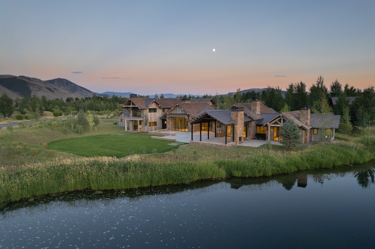
Riverfront parcels along the Snake come with a layered set of easements: the federal levee easement, the county and Corps maintenance rights, and the settlement-era recreational easements on the gravel bars. If you would like to talk through how those easements apply to a particular property on the west bank, Tom Evans Real Estate offers a confidential consultation.
This article is general information, not legal, tax or financial advice. Consult a qualified professional about your situation.